Trail, topographical and digital maps
- (0)Backroad Mapbooks West Kootenay Waterproof Map$19.95
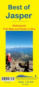
- (0)Gem Trek Publishing Best of Jasper 5th Edition$5.93$9.95
- (0)Gem Trek Publishing Southwest Alberta & Southeast British Columbia Map 8th Edition$9.95
- (0)Backcountry Skiing Canada Fernie Ski Touring Map$24.95
- (0)Backroad Mapbooks Killarney Provincial Park Ontario Map$24.95
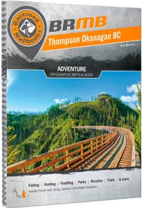
- (0)Backroad Mapbooks Thompson Okanagan BC$29.95
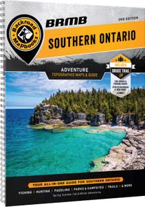
- (0)Backroad Mapbooks Southern Ontario$29.95
- (0)Backroad Mapbooks BC Fishing Hwy 24 & Land of Hidden Waters Waterproof Map$19.95
- (0)Backroad Mapbooks Vancouver Island South BC Waterproof Map$24.95
- (0)Backroad Mapbooks Kootenay Rockies BC$29.95
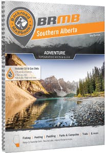
- (0)Backroad Mapbooks Southern Alberta$29.95
- (0)Backroad Mapbooks Newfoundland & Labrador Mapbook$29.95
- (0)Backroad Mapbooks Vancouver Island BC, Victoria and Gulf Islands$29.95
- (0)Backroad Mapbooks Manitoba Mapbook$34.95
- (1)Backroad Mapbooks Atlantic Canada GPS Map SD$99.95
- (0)Backroad Mapbooks Vancouver Island BC GPS Map SD$69.95
- (0)Backroad Mapbooks Bowron Lakes Provincial Park BC Map$24.95
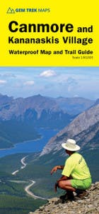
- (0)Gem Trek Publishing Canmore & Kananaskis Village$14.95
- (0)Backroad Mapbooks Cottage Country Ontario Mapbook$29.95
- (0)Backcountry Skiing Canada Rossland Ski Touring Map Version 2.0$24.95
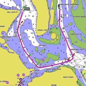
- (2)Garmin BlueChart g3 Canada Micro SD/SD Card$174.95
- (0)Backroad Mapbooks Okanagan Valley and Shuswap BC Waterproof Map$24.95
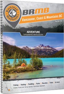
- (0)Backroad Mapbooks Vancouver, Coast & Mountains BC$29.95
- (0)Backroad Mapbooks Kawartha Provincial Park Ontario$24.95
- (0)Backroad Mapbooks Nova Scotia Mapbook$29.95
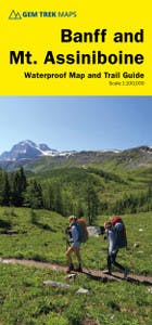
- (0)Gem Trek Publishing Banff & Mt. Assiniboine$14.95
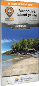
- (0)Backroad Mapbooks Vancouver Island North BC Waterproof Map$14.95
- (0)Gem Trek Publishing Banff & Mt. Assiniboine Map 10th edition$14.95
- (0)Gem Trek Publishing Lake Louise & Yoho Map 11th edition$14.95
- (0)Gem Trek Publishing Lake O'Hara Map 6th Edition$5.95
- (0)Gem Trek Publishing Banff Up-Close Map 4th edition$9.95
- (0)Backroad Mapbooks Northeastern Ontario$29.95
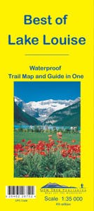
- (0)Gem Trek Publishing Best of Lake Louise 4th Edition$9.95
- (0)Whistler Hiking Guide$34.95
- (0)Backroad Mapbooks Tweedsmuir Provincial Park BC Map$24.95
- (0)Backroad Mapbooks Strathcona Provincial Park BC Map$24.95
- (0)Backroad Mapbooks New Brunswick Mapbook$29.95
- (0)Backroad Mapbooks Central Alberta$29.95
- (0)Backroad Mapbooks Northern BC Mapbook$34.95
- (0)Backroad Mapbooks Cariboo Chilcotin BC$34.95
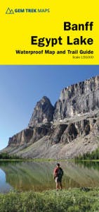
- (0)Gem Trek Publishing Banff-Egypt Lake Map 2nd Edition$14.95
- (0)Gem Trek Publishing Southwest British Columbia & Northern Washington Map 3rd Edition$5.95
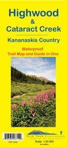
- (0)Gem Trek Publishing Highwood & Cataract Creek Map 3rd Edition$13.95
- (0)Backroad Mapbooks Haida Gwaii BC Waterproof Map$19.95
- (0)Backroad Mapbooks East Kootenay BC Waterproof Map$19.95
- (0)Gem Trek Publishing Bow Lake & Saskatchewan Crossing Map 6th Edition$14.95
- (0)Gem Trek Publishing Lake Louise & Moraine Lake Map 1st edition$14.95
- (0)Gem Trek Publishing Jasper Up-Close Map 6th edition$4.95
- (0)Gem Trek Publishing Icefields Parkway Map 5th edition$9.95
- (0)Gem Trek Publishing Canmore Up-Close Map 2nd edition$13.95
- (0)Gem Trek Publishing Canmore and Kananaskis Village Map 8th edition$13.95
- (0)Stein To Joffre Trail Map$15.95
- ‹
- 1
- ›
Compare (0)
Trail, topographical and digital maps to keep you on the right path
Whether you’re headed out to a new trail or just looking for a deeper understanding of an old favourite - trail, topographical and digital maps are great companions to take along for the trip.
Trail and topographical maps are your go-to choice for hiking or ski touring. Maps are regularly updated with new versions to ensure they’re as accurate as possible. The offerings range from simple maps that’ll show you the area to more thorough guides that will give you the same geographical information while also outlining more detail about the terrain and features for a fuller overview of where you’re going.
Road maps and atlases are great for road trips and exploring new parts of the country. They highlight towns, points of interest, trails and more to make sure you can find whatever you’re looking for. They’re also a great way to learn more about somewhere you like to visit, so check out the selection to see if any of the featured areas are of interest.
Digital maps pair with GPS navigation devices to provide detailed information about an area. Once you download the map, all of its information will be available in the palm of your hand. Details like hiking trails and points of interest help you get the most out of any trip.


