Marine navigation
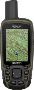
- (25)Garmin GPSMAP 65S$539.99
- (0)Backroad Mapbooks West Kootenay Waterproof Map$19.95
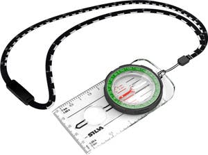
- (1)Silva Compass Ranger$49.95
- (0)Backroad Mapbooks Killarney Provincial Park Ontario Map$24.95
- (0)Silva Compass 16DCL-6400 MILS/360 Degrees$99.95
- (4)Silva Pocket Compass$20.95
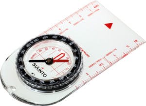
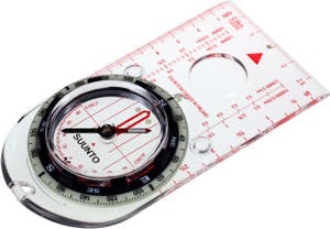
- (1)Suunto A-10 NH Compass$34.95
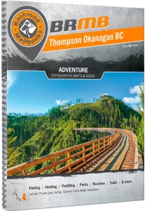
- (0)Backroad Mapbooks Thompson Okanagan BC$29.95
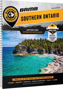
- (0)Backroad Mapbooks Southern Ontario$29.95
- (0)Suunto MCB NH Compass$54.95
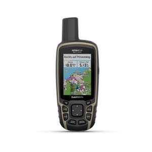
- (0)Garmin GPSMAP 65$469.99
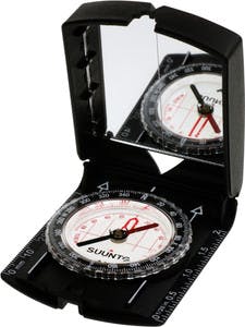
- (5)Suunto MC-2 NH Mirror Compass$99.95
- (13)Garmin inReach Messenger Plus$489.99$729.99
- (0)Backroad Mapbooks BC Fishing Hwy 24 & Land of Hidden Waters Waterproof Map$19.95
- (0)Silva 58 Kayak Compass$99.95
- (0)Backroad Mapbooks Vancouver Island South BC Waterproof Map$24.95
- (0)Backroad Mapbooks Kootenay Rockies BC$29.95
- (5)Silva Compass Ranger S$59.95
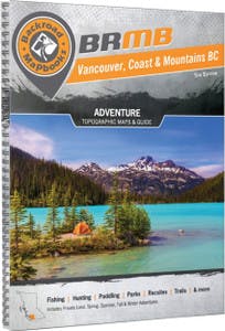
- (0)Backroad Mapbooks Vancouver, Coast and Mountains BC Backroad Mapbook$34.95
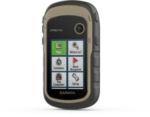
- (0)Garmin eTrex 32X GPS$399.99
- (0)Backroad Mapbooks Newfoundland & Labrador Mapbook$29.95
- (0)Backroad Mapbooks Vancouver Island BC, Victoria and Gulf Islands$29.95
- (5)Silva Compass Field$34.95
- (0)Backroad Mapbooks Manitoba Mapbook$34.95
- (1)Backroad Mapbooks Atlantic Canada GPS Map SD$99.95
- (0)Backroad Mapbooks Vancouver Island BC GPS Map SD$69.95
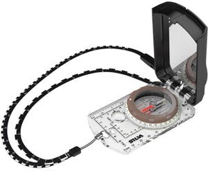
- (4)Silva Compass Expedition S$89.95
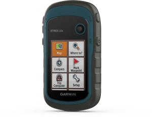
- (1)Garmin eTrex 22X GPS$279.99
- (0)Backroad Mapbooks Bowron Lakes Provincial Park BC Map$24.95
- (0)Backroad Mapbooks Cottage Country Ontario Mapbook$29.95
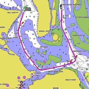
- (2)Garmin BlueChart g3 Canada Micro SD/SD Card$174.95
- (0)Backroad Mapbooks Okanagan Valley and Shuswap BC Waterproof Map$24.95
- (0)Backroad Mapbooks Vancouver, Coast & Mountains BC$29.95
- (0)Jeff's Map Kawartha Highlands Paddler's Map$20.00
- (0)Backroad Mapbooks Kawartha Provincial Park Ontario$24.95
- (0)Backroad Mapbooks Nova Scotia Mapbook$29.95
- (0)Backroad Mapbooks Northeastern Ontario$29.95
- (0)Jeff's Map West Algonquin Paddler's Map$25.00
- (0)Suunto M-3 NH Compass$89.95
- (0)Jeff's Map South Algonquin Paddler's Map$25.00
- (0)Jeff's Map East French River Padder's Map$25.00
- (0)Jeff's Map Killarney Paddler's Map$25.00
- (0)Jeff's Map Central Algonquin Paddler's Map$25.00
- (0)Backroad Mapbooks Tweedsmuir Provincial Park BC Map$24.95
- (0)Backroad Mapbooks Strathcona Provincial Park BC Map$24.95
- (0)Backroad Mapbooks New Brunswick Mapbook$29.95
- (0)Backroad Mapbooks Central Alberta$29.95
- (0)Backroad Mapbooks Northern BC Mapbook$34.95
- (0)Backroad Mapbooks Cariboo Chilcotin BC$34.95
- (0)Backroad Mapbooks Squamish, Chilliwack and Merritt BC Waterproof Map$19.95
- (0)Backroad Mapbooks East Kootenay BC Waterproof Map$19.95
- ‹
- 1
- ›
Compare (0)
Marine navigation tools to keep you headed in the right direction
Just like when you’re hiking on land, it’s a good idea to know where you’re going when you hit the water. Whether you’re headed out for a familiar paddle or turning your bow towards territory unexplored, make sure you’ve got the marine navigation tools that’ll get you there and back without getting too turned around on the way.
First up is the tried and true: your marine maps. Like any other map, they’re designed to show you what lies ahead and what the terrain has in store, but marine maps offer a special focus on the waterways of an area. Keep an eye out for highlighted portage routes and other areas of interest. And if you’re headed out with a map, don’t forget to bring a compass that’ll help you put it to good use.
Looking for something a little higher tech? Check out a handheld GPS that packs all of your maps down into a pocket-sized package. Some models come with all their maps pre-loaded, while others let you download your own at your convenience. Options like waterproofing make them a great choice to bring on deck with you, and if you want to be extra careful, pick up a dry bag to keep it safe from the elements.

