

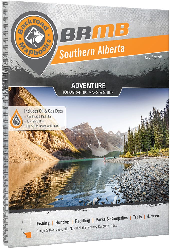


Backroad Mapbooks Southern Alberta
5044-394
Detailed maps for exploring Southern Alberta’s diverse landscapes, helping you discover trails, parks, and waterways for paddling, skiing, and hiking adventures.
$29.95
Ship to address
Delivered by Thu, Oct 29 – Mon, Nov 2
In stock
Pickup in-store
- Free shipping over $50
- Easy returns in-store or online
- Product satisfaction guaranteed
- Best price guaranteed
Find it in store
Select a to view availability
Product details
Product details
Style ID: 5044-394
Highly detailed maps of the Southern Alberta area, including Crowsnest Pass, Waterton Park, Banff, Calgary, Lake Louise, Drumheller, Canmore, Lethbridge, and Kananaskis Lake. Maps highlight main roads, logging and bush road networks, trail systems, parks, and recreation areas. Explorers will find the maps extremely useful for finding new places, and relief topography helps all users identify land features. Also covers activities such as paddling, cross-country skiing, and hiking.
Tech specs
Tech specs
| Ideal for |
|
| Regionality |
|
| Language | English |
| Pages | 192 |
| Edition | 3rd |
| Published | 2015 |
| Made in | Canada |
ReviewsWrite a review
Reviews
Write a review
Ask & answer(0 reviews)
Ask & answer
(0 reviews)
Compare products (0)Compare (0)